


Fashion
EUROPE
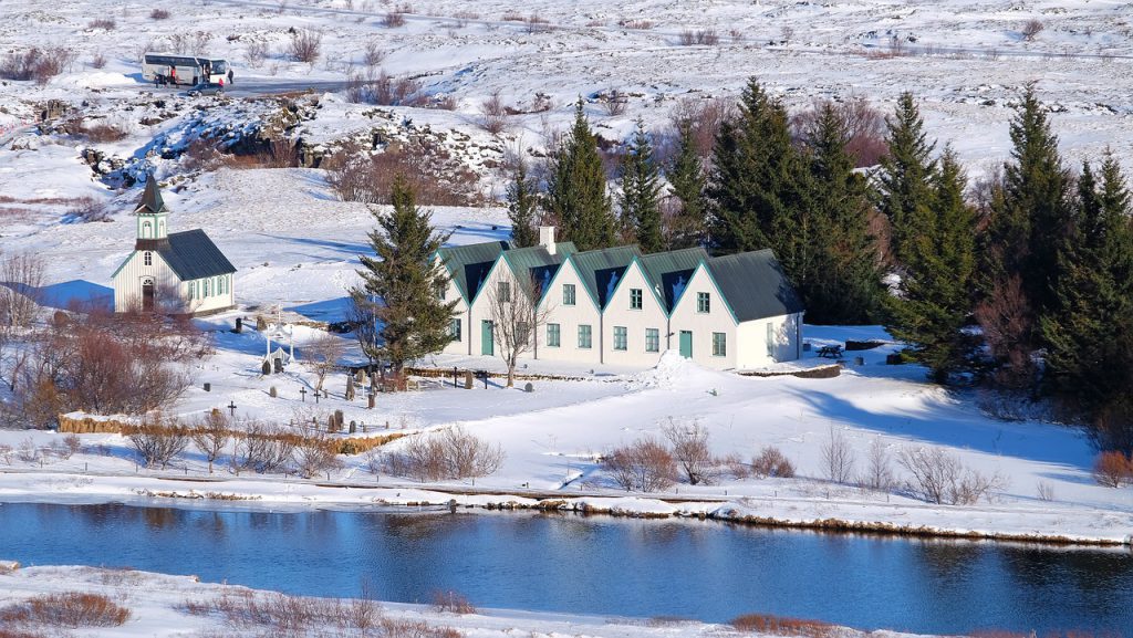
Visiting Nordic Countries in Winter – Why and How
The cold north, the Viking history, the furniture store like a maze, and interesting meatballs – the cultural wonder of the Nordic countries cannot be denied. So, considering the temperature as a con, why would people want to visit these countries in the winter, anyway? And, while we’re on the subject, how should we prepare […]
EUROPE
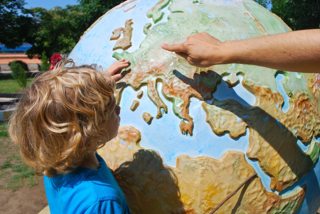
Top 7 Countries to Visit in Europe and Why
I’ve done my fair share of writing about Wales and the UK in general, so perhaps we need to give the others a chance. Let’s take a step back and gaze upon some of the finest countries in Europe for visitors and tourists. Italy The history of the country itself, the magnificent monuments and pieces […]
UK
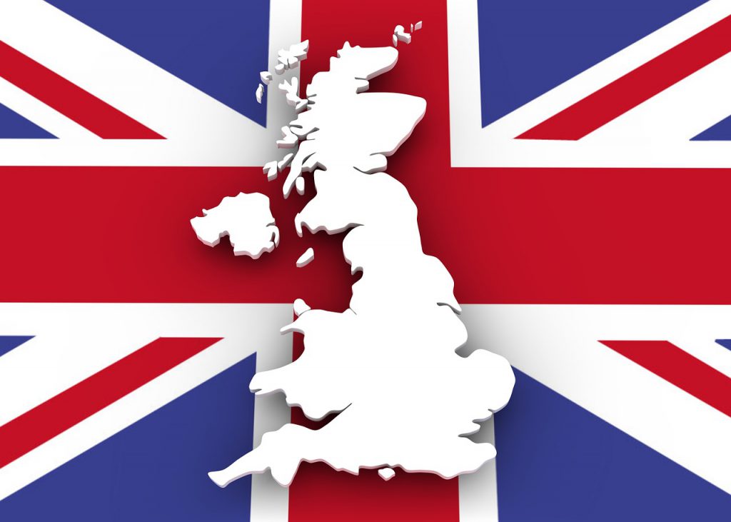
Reasons for Visiting the UK
The United Kingdom of Great Britain and Northern Ireland is one of the few empires that still exist in the world. In addition to that, it is a great place for people to visit, whether it is to explore culture and history or something else entirely. A lot of people actually visit the UK for […]

WALES
What Not to Say to a Welsh Person
Every country has its fair share of stereotypes. Some hate foreigners, while others are too efficient and punctual. There are those that eat things we find inedible, and the culture of some is plainly beyond comprehension. Tact is very important when dealing with prejudice, so I decided to help out a bit by making a […]

CAERNARFON
A Few Interesting Things about Caernarfon Castle
One of the biggest attractions with historic significance is Caernarfon Castle. Compared to the rest of the sights, it is one of the best things worth seeing around here in part due to a few pieces of interesting information tourists might enjoy. Here are a few things that you may or may not know about […]
Coverage
EUROPE
Visiting Nordic Countries in Winter – Why and How
The cold north, the Viking history, the furniture store like a maze, and interesting meatballs – the cultural wonder of the Nordic countries cannot be denied. So, considering the temperature as a con, why would people want to visit these countries in the winter, anyway? And, while we’re on the subject, how should we prepare […]
EUROPE
Top 7 Countries to Visit in Europe and Why
I’ve done my fair share of writing about Wales and the UK in general, so perhaps we need to give the others a chance. Let’s take a step back and gaze upon some of the finest countries in Europe for visitors and tourists. Italy The history of the country itself, the magnificent monuments and pieces […]
UK
Reasons for Visiting the UK
The United Kingdom of Great Britain and Northern Ireland is one of the few empires that still exist in the world. In addition to that, it is a great place for people to visit, whether it is to explore culture and history or something else entirely. A lot of people actually visit the UK for […]
WALES
What Not to Say to a Welsh Person
Every country has its fair share of stereotypes. Some hate foreigners, while others are too efficient and punctual. There are those that eat things we find inedible, and the culture of some is plainly beyond comprehension. Tact is very important when dealing with prejudice, so I decided to help out a bit by making a […]
Blog Post

EUROPE
Visiting Nordic Countries in Winter – Why and How
The cold north, the Viking history, the furniture store like a maze, and interesting meatballs – the cultural wonder of the Nordic countries cannot be denied. So, considering the temperature as a con, why would people want to visit these countries in the winter, anyway? And, while we’re on the subject, how should we prepare […]
Read More
EUROPE
Top 7 Countries to Visit in Europe and Why
I’ve done my fair share of writing about Wales and the UK in general, so perhaps we need to give the others a chance. Let’s take a step back and gaze upon some of the finest countries in Europe for visitors and tourists. Italy The history of the country itself, the magnificent monuments and pieces […]
Read More
UK
Reasons for Visiting the UK
The United Kingdom of Great Britain and Northern Ireland is one of the few empires that still exist in the world. In addition to that, it is a great place for people to visit, whether it is to explore culture and history or something else entirely. A lot of people actually visit the UK for […]
Read More
WALES
What Not to Say to a Welsh Person
Every country has its fair share of stereotypes. Some hate foreigners, while others are too efficient and punctual. There are those that eat things we find inedible, and the culture of some is plainly beyond comprehension. Tact is very important when dealing with prejudice, so I decided to help out a bit by making a […]
Read More
CAERNARFON
A Few Interesting Things about Caernarfon Castle
One of the biggest attractions with historic significance is Caernarfon Castle. Compared to the rest of the sights, it is one of the best things worth seeing around here in part due to a few pieces of interesting information tourists might enjoy. Here are a few things that you may or may not know about […]
Read More
EUROPE
Why You Should Visit Eastern Europe
When we consider visiting Europe, we often take into account buildings, museums, galleries, and sites we generally see in films. That’s why popular destinations are France, Germany, Italy, Spain, and Greece. What about Easter Europe, though? These countries also have a lot to offer and here are a few reasons they should appear on your […]
Read More
UK
A Guide to Land-Based Casinos in the UK
Online casinos and sports betting are rising in popularity, due to the way they can access a large audience from all corners of the earth, as well as amazing benefits they offer, such as Sportingbet promo code. However, land-based casinos are still in the race, as it were, since they provide top quality entertainment in […]
Read More
WALES
Things You Should Know about Snowdonia National Park
The third national park in Britain has 37 miles of coastline and more than 25,000 people living in it. It is spread over parts of Conwy and Gwynedd, and nearly 4 million people visit it on a regular basis (actually, 3.67 million people were there in 2013, but close enough). Why is that? Does the […]
Read More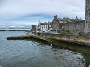
CAERNARFON
Some Activities and Experiences to Try Out In Caernarfon
The city of Caernarfon has a lot to offer to its visitors. In fact, this is one of the main reasons I started writing this blog in the first place. Today, I am going to show you how you can have fun in the city and what you can experience. For the readers that aren’t […]
Read More
UK
Places in the UK That Are Under the Radar
Usually, when we travel, we tend to visit the popular holiday destinations and famous sites. However, some of us also enjoy finding little hidden gems, little cafes, castles, museums, and clubs that are a bit under-the-radar, as it were. This post is dedicated to the latter, as we explore the places that are not the […]
Read More